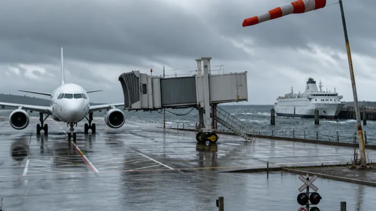

Typhoon No. 30 is forecast to pose a significant threat to Japan’s aviation network between Sunday 25 October 2026 and into Monday, with heavy rain and strong winds expected to generate delays, cancellations and conditional operations across much of the country.
Storm dynamics and forecast
On Saturday evening the large system was moving north at 30 kilometres per hour, with a central atmospheric pressure of 985 hectopascals, maximum sustained winds of 30 metres per second and gusts up to 40 metres per second. Meteorological agencies and forecasters warned that interaction between the typhoon and a stationary autumn rain front could produce intense rainfall over a far broader area than the storm’s immediate track.
Air transport at risk
Air travel vulnerability will increase from Sunday afternoon, the reporting said, with airports across Kyushu, Shikoku, Chugoku, Kansai, Tokai, Hokuriku and Kanto potentially experiencing delays, diversions and conditional operations. The most serious disruption is expected from Sunday night through Monday morning as the typhoon approaches waters west of Kyushu and amplifies the rain front.
Japan Airlines issued an advisory at 19:00 on 24 October identifying a number of airports at risk of weather-related disruption. The airline highlighted locations in the south-west where strong winds could affect aircraft operations and several smaller airports where low visibility was a concern.
| airport | identified risk |
|---|---|
| Yakushima | strong winds affecting operations |
| Kikai | strong winds affecting operations |
| Tokunoshima | strong winds affecting operations |
| Okinoerabu | strong winds affecting operations |
| Tajima | poor visibility |
| Oki | poor visibility |
| Izumo | poor visibility |
| Rishiri | strong winds could affect operations (northern Japan) |
Operational consequences and advice
Forecasters said conventional railway services in Kyushu and the Chugoku region face a heightened risk of major delays and suspensions during the period of most severe weather, amplifying the pressure on air and surface connections. For airlines and airports, the combination of strong crosswinds, gusting conditions and widespread heavy rain raises the likelihood of flight restrictions, runway limitations and diversions to alternate aerodromes.
- Air travel susceptibility is expected to increase from Sunday afternoon.
- The most acute period of disruption is anticipated between Sunday night and Monday morning.
- Japan Airlines’ advisory (issued at 19:00 on 24 October) named several airports at particular risk.
Japan Airlines’ advisory did not confirm a widespread list of cancellations for Sunday in its latest issued notice. Airlines, airports and passengers are operating with short lead times as conditions evolve; operators are likely to publish specific flight-level changes as the storm progresses.
For route planners and international carriers with Japanese connections, the storm underlines the potential for concentrated disruption across both domestic feeder services and international departures and arrivals through affected regions. Airports with multiple short-runway or regional services are particularly vulnerable to wind and visibility restrictions; hub airports may face cascading effects as aircraft are delayed or crews breach duty limits.
Industry stakeholders should monitor official airline and airport advisories and the latest meteorological bulletins as the situation develops.